Mike Fay's Africa Megaflyover
Click image to enlarge.
Fly here in Google Earth

Click image to enlarge.
Fly here in Google Earth
Click image to enlarge.
Fly here in Google Earth
Click image to enlarge.
Fly here in Google Earth

Click image to enlarge.
Fly here in Google Earth
Click image to enlarge.
Fly here in Google Earth
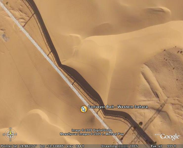
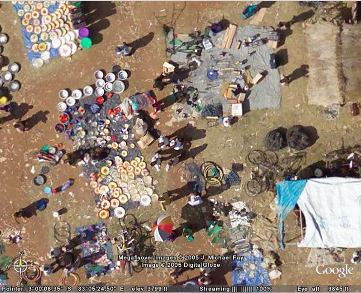
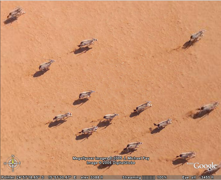
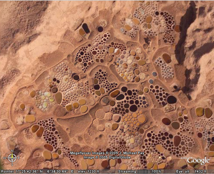
The Global Connection Project created software tools to automate the geolocation of pictures taken by National Geographic's Mike Fay from a Cessna 182 over Africa. The images were then embedded as high-resolution overlays into Google Earth. It is planned to eventually geolocate and overlay all 92,000 images.
From the alien terrain of naturally occurring salt wells to a colorful market in Tanzania, these pictures highlght the incredible diversity of the African landscape, wildlfe, and culture.