 Lunar Rover Navigation 1997
Lunar Rover Navigation 1997
Lunar Rover Navigation 1997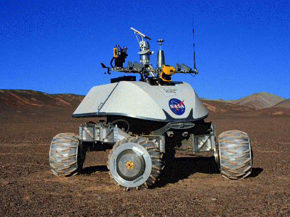
![[Navigation'97 QuickTime video]](/afs/cs/project/lri-13/Atacama97/Photos/mov/nav97.gif) - See the
Navigation'97 QuickTime video (11 Megabytes)
- See the
Navigation'97 QuickTime video (11 Megabytes)
In 1997, as part of the Atacama Desert Trek field demonstration, the navigation system onboard the Nomad robot drove autonomously through 21 kilometers of the Atacama Desert in northern Chile. The driest desert in the world, the Atacama has thousands of square kilometers of rocky, barren, and varied terrain, which provide the best terrestrial analog of Moon and Mars-like environments.
Our robot navigation system consisted of three primary components: position estimation, obstacle detection, and path planning.
![[Safeguarded Navigation
illustration]](pics/SafeLunarTele.gif)
Armed with the knowledge of path safety, Nomad controlled its direction of travel in 3 ways. Nomad always chose the safe path and found obstacles on its own. Unfortunately the software model of the novel steering mechanism was not complete, so sometimes a human operator had to back Nomad away from an obstacle.
The autonomy system was on call throughout the mission, and was typically run on-demand as circumstances warranted, such as during lunch breaks or loss of communications). This graph illustrates the daily total distance traversed in autonomous mode. In summary, Nomad was driven for a total of 21 kilometers of autonomous driving, and 7 kilometers of safeguarded user-driven teleoperation.
As NASA plans its future exploration missions, this capability of tens of kilometers of autonomous traverse will become critical. In the near future, Carnegie Mellon will enhance the navigation system by adapting sensors to extremely cold environments, and will send Nomad and future robots to search for meteorites in Antarctica.
| Stereo processing code | Martial Hebert |
| Software networking support | Juan León |
| Linux system administration | Paul Levin |
| Navigation Lead | Mark Maimone |
| Camera enclosures and mounting | Eric Rollins |
| Morphin navigation planner | Reid Simmons |
| Electrical design | James Teza |
| Calibration cube design and manufacture | Centre for Metahuman Exploration, Carnegie Mellon |
| User interface | NASA Ames Intelligent Mechanisms Group |
 | The Robotics Institute |
 | Sandia National Labs | |
 |
LunaCorp |
 |
NASA Telerobotics | |
| 1997 Atacama Desert Trek | Nomad page at NASA Ames | |||
| 1996 Lunar Rover Navigation |