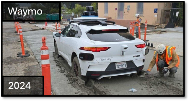
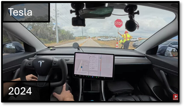
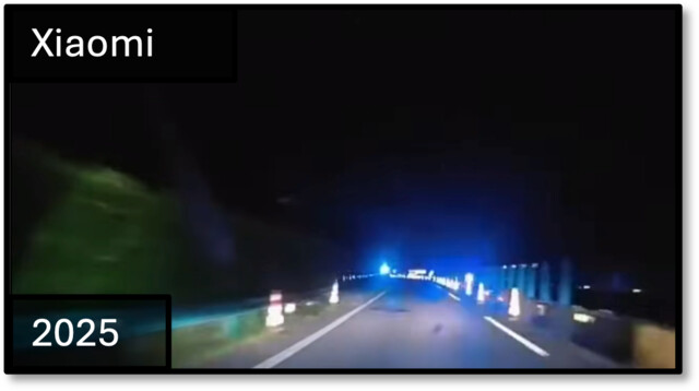
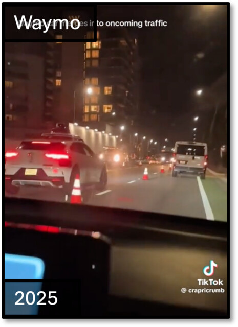
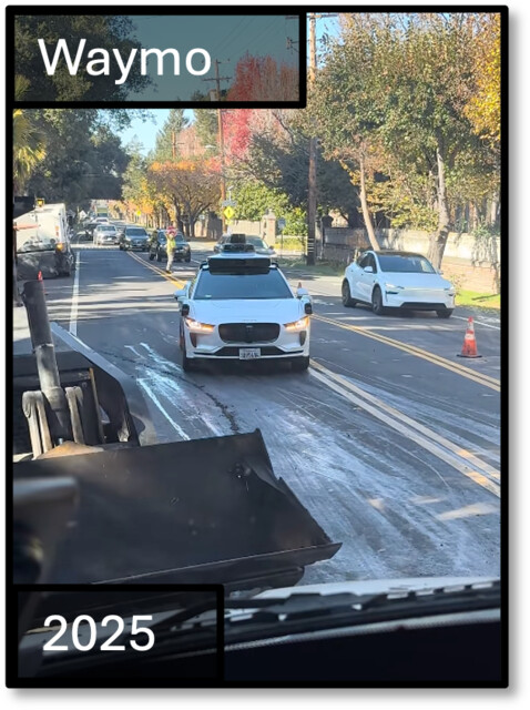
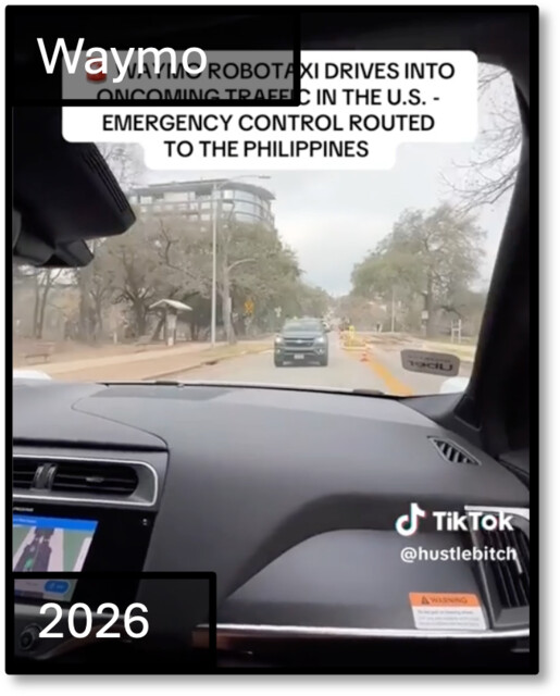
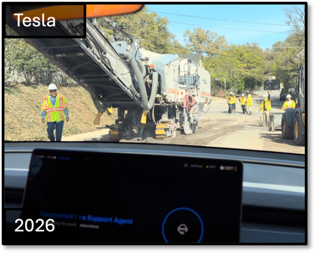
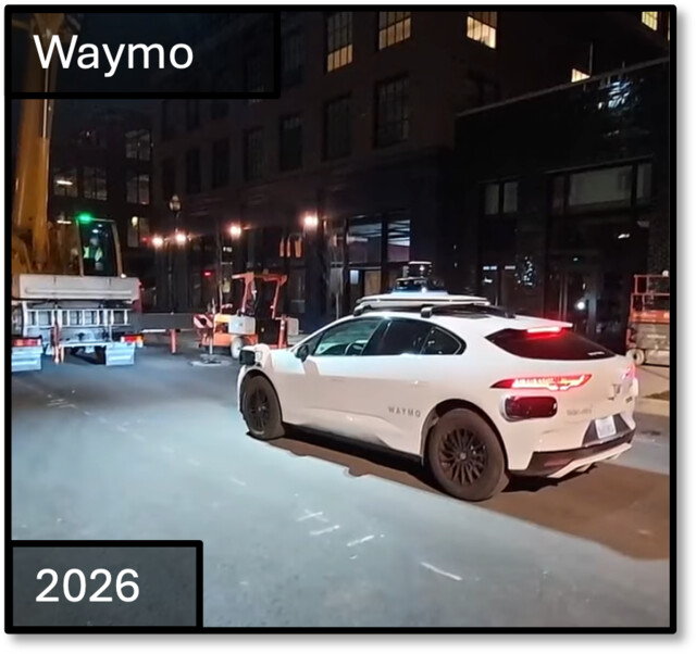
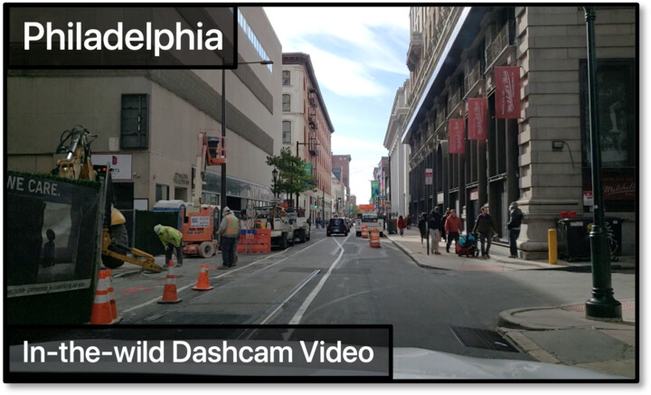
In-the-wild dashcam video in Philadelphia.
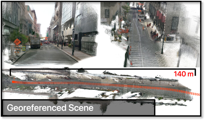
Geo-referenced 3D scene reconstruction.
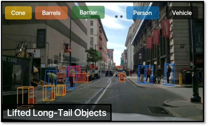
Lifted long-tail 3D objects.

Monocular videos from dashcams → Metric, Geo-referenced 3D → Lifted Long-Tail Objects.

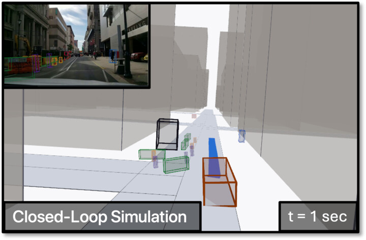
Closed-loop simulation, t = 1 sec.
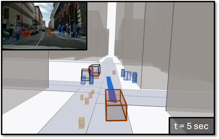
Closed-loop simulation, t = 5 sec.
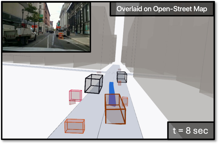
Closed-loop simulation, later timestep.

Closed-loop simulation with both non-reactive and reactive agents.

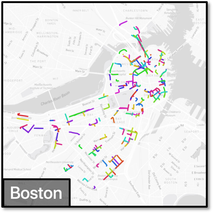
Boston 4D driving log.
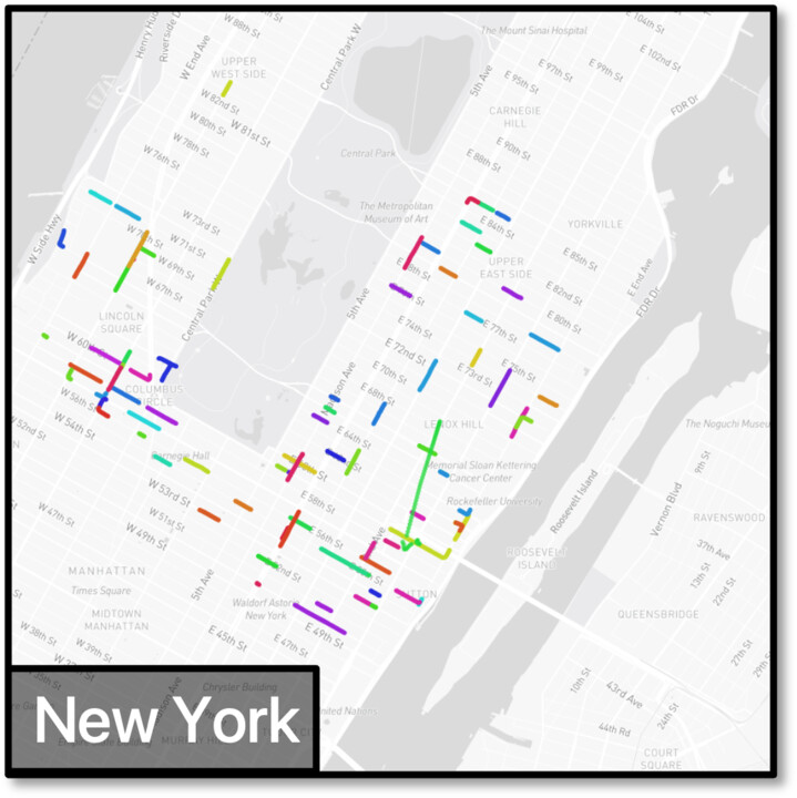
New York 4D driving log.
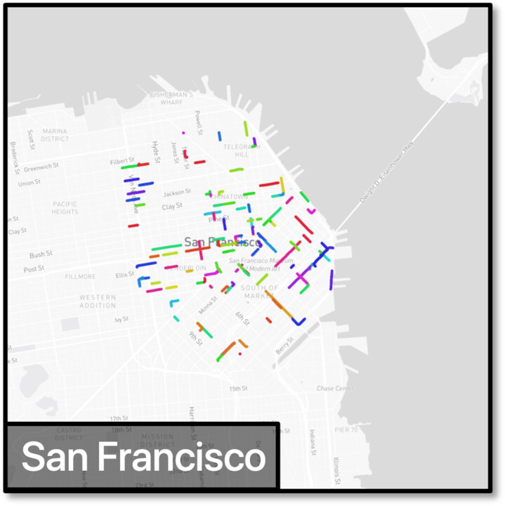
San Francisco 4D driving log.
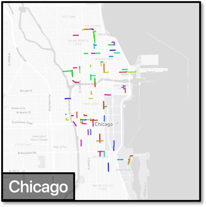
Chicago 4D driving log.

4D driving logs across cities, many of them not covered by existing fleets, improving long-tail coverage.

Geometry Geo-anchored SfM Geometry Aware DepthRefinement Monocular Dashcam Video Co-LocatedStreet Imagery SparseRecon. MonocularDepth Prior Metric Reconstruction Semantics 2D Detection andTracking Depth Conditioned3D Lifting Promptable Tracker Long-Tailed Detector 2D ObjectTracks 3D Tracked Objects Simulation Ego, Objects, Agents on Open Street Map 4D Driving Log
Geometry → Semantics → Simulation.
Recovered point clouds across cities. In these visualizations, we projected all points (including dynamic objects) onto the same coordinates.
(a) Instrumented Collection Ego sensor A Ego sensor B Cross-modalagreement Data quality Co-collected sensor agreement (b) Interactive Collection Agent Environment Data quality action obs. task success Task success in environment (c) In-the-wild Observation OURS Recovered agent& env. state Spatial reference Physical constraints Simulationconsistency Data quality Cross-source physical consistency in simulation
Three paradigms for data verification.
© OpenStreetMap · © CARTO
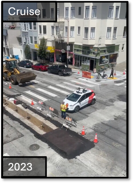
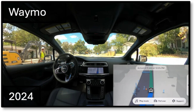
Log replay (top); four planners on the same work zone (below). Note that driving in the correct work zone channels (i.e. in the lane or drivable area not blocked by temporary traffic control objects) is a challenge.
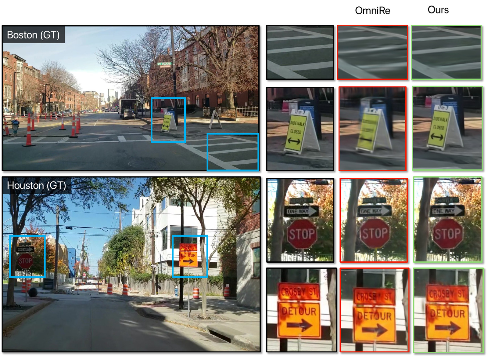
Novel-view synthesis comparison: OmniRe baseline versus OmniRe with Dash2Sim depth, showing sharper signs and cones on held-out views in Boston and Houston
Dense depth from Dash2Sim improves novel-view synthesis, especially for small long-tailed objects.

Please Consider Citing Dash2Sim

@article{ghosh2026dash2sim,
  title   = {Dash2Sim: Closed-Loop Driving Simulation from in-the-wild Dashcam Videos},
  author  = {Ghosh, Anurag and Pittaluga, Francesco and Vuong, Khiem and
             Chen, Angela and Alvarez-Padilla, Juan and Chandraker, Manmohan
             and Narasimhan, Srinivasa},
  journal = {arXiv preprint arXiv:2606.07366},
  year    = {2026}
}
Some visualizations use rerun. Map data © OpenStreetMap contributors — thank you! — with tiles by CARTO.

This website is licensed under a Creative Commons Attribution-ShareAlike 4.0 International License. You are free to borrow its source code; we just ask that you link back to this page.

Coming soon!