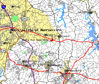
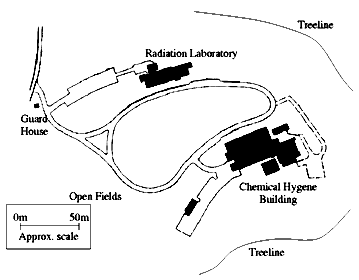
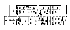
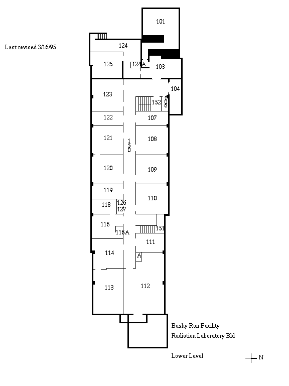
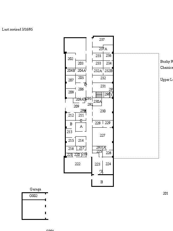
Bushy Run Demo Site


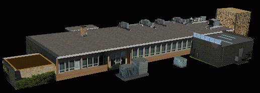
3D Virtual flyover of facility (1.3MB MPEG)
(created using the K²T modeler)


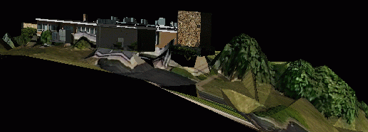
Bushy Run terrain (1.9MB MPEG)
(created using the K²T modeler)

This page is under construction. We will be adding more information as it becomes available. In particular, we plan to post a digital elevation map (DEM) and 3D VRML model of the site.

Lat: 40.40, Lon: -79.61, Elev: 382.961

Located off Route 22 along Mellon Road in Penn Township, Westmoreland County, the CMU Bushy Run site is a decommissioned chemical and nuclear research facility that sits on 140 acres of land. It is a 30-minute drive from the CMU campus. The Bushy Run facility has expansive open spaces, tree-lined fields with varying degrees of ground vegetation, and two empty two-story buildings along a paved road. The buildings, roadways, and natural terrain at the site, combined with the facilities' limited access to the public, make it an ideal location for controlled experiments and demonstrations involving moving object detection and tracking.


Collateral Site Data


Site Map (108 Kb)
This site map was scanned from a CMU facilities management document. It shows the basic layout of the site. It also refers to the fact that we are not allowed to go in to the buildings, or to operate robotic vehicles in the central, built-up area (out in the fields is fine). Despite the various chemical waste pits and miscellaneous "areas of concern", this is a very safe site. Really, it is.

Building Floor Plans
We are not allowed to go into the buildings, so these floor plans are only useful for determining building shapes and footprints.
Radiation Lab, Lower Level
Radiation Lab, Upper Level
Chemical Hygiene, Lower Level
Chemical Hygiene, Upper Level