


In Virginia, I hike with the PATC.
The descriptions of the hikes were copied from the PATC and Sierra Club web pages.
June 3, 2000: Minebank/Bald Mt. Trails in George Washington National Forest, VA
10+/- miles
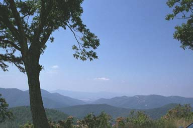
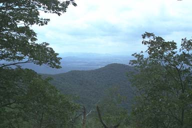
Hike description: John Shannon leads this hike in the George Washington National Forest, which includes some beautiful trails. We’ll head south on the Blue Ridge Parkway near milepost 23; Fork Mt. Overlook is just north of the trail parking area. We’ll descend Minebank Trail and walk St. Marys River Trail, followed by a climb to Green Pond, to Forest Service Road 162 to Bald Mt. Trail.
June 10, 2000: Rocky Mountain Run & Big Run Portal Trail in Shenandoah National Park, VA
9 miles
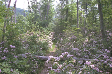
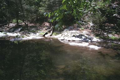
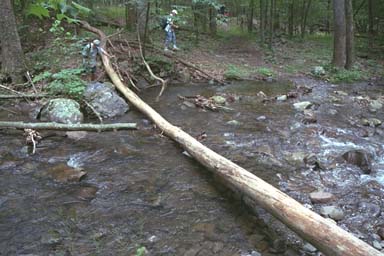
Hike description: Jere Bidwell leads this hike, which is in the south section of Shenandoah National Park. This hike starts from Brown Mountain Overlook, milepost 77, and ends at Big Run Overlook, milepost 81. Warnings: There will be numerous stream crossings along the Rocky Mountain Run & Big Run Portal Trails. Uphill climb required during the last mile of the hike. Features: Hopefully some sections of the hike will offer mountain laurel in full bloom. Directions: Take Interstate 64 West to Afton, get onto Skyline Drive heading north. All cars will be driven to Brown Mountain Overlook, milepost 77. From there a car shuttle will be required back to Big Run Overlook.


June 17, 2000: Neighbor Mountain & Jeremys Run Trail in Shenandoah National Park, VA
10 miles
Hike description: Jere Bidwell leads this hike in north section of Shenandoah National Park, starting about milepost 27, the trailhead for the Neighbor Mountain Trail, and ending at the Elkwallow Wayside. Warnings: There will be numerous stream crossings along the Jeremys Run Trail. Car shuttle required. Features: Hopefully some sections of the hike will offer mountain laurel and rhododendron in full bloom. Directions: Take Route 29 north to Madison; on Route 231, go north to Sperryville, then get on Route 211 heading west towards Luray. Get on the Skyline Drive at Thornton Gap and head North on the Skyline Drive to milepost 27. From there a car shuttle will be required to Elkwallow Wayside.


July 1, 2000: Nicholson Hollow
9 miles
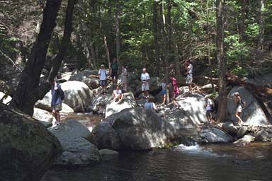
Hike description: John Shannon leads this favorite summer out-and-back hike, which launches from the Old Rag parking lot and goes to Corbin Cabin. Warnings: Park pass or $ may be required to park at Old Rag lot. Be prepared from wading across streams and a 1,200-foot ascent. Features: Swimming is possible, as is a stop at the famous Beulah’s on the drive back. Directions: Take Route 29 north of Madison, then take 231 through Banco and Etlan to route 602, and follow route 707 through Nethers.


Aug. 12: Lake Sherando


